
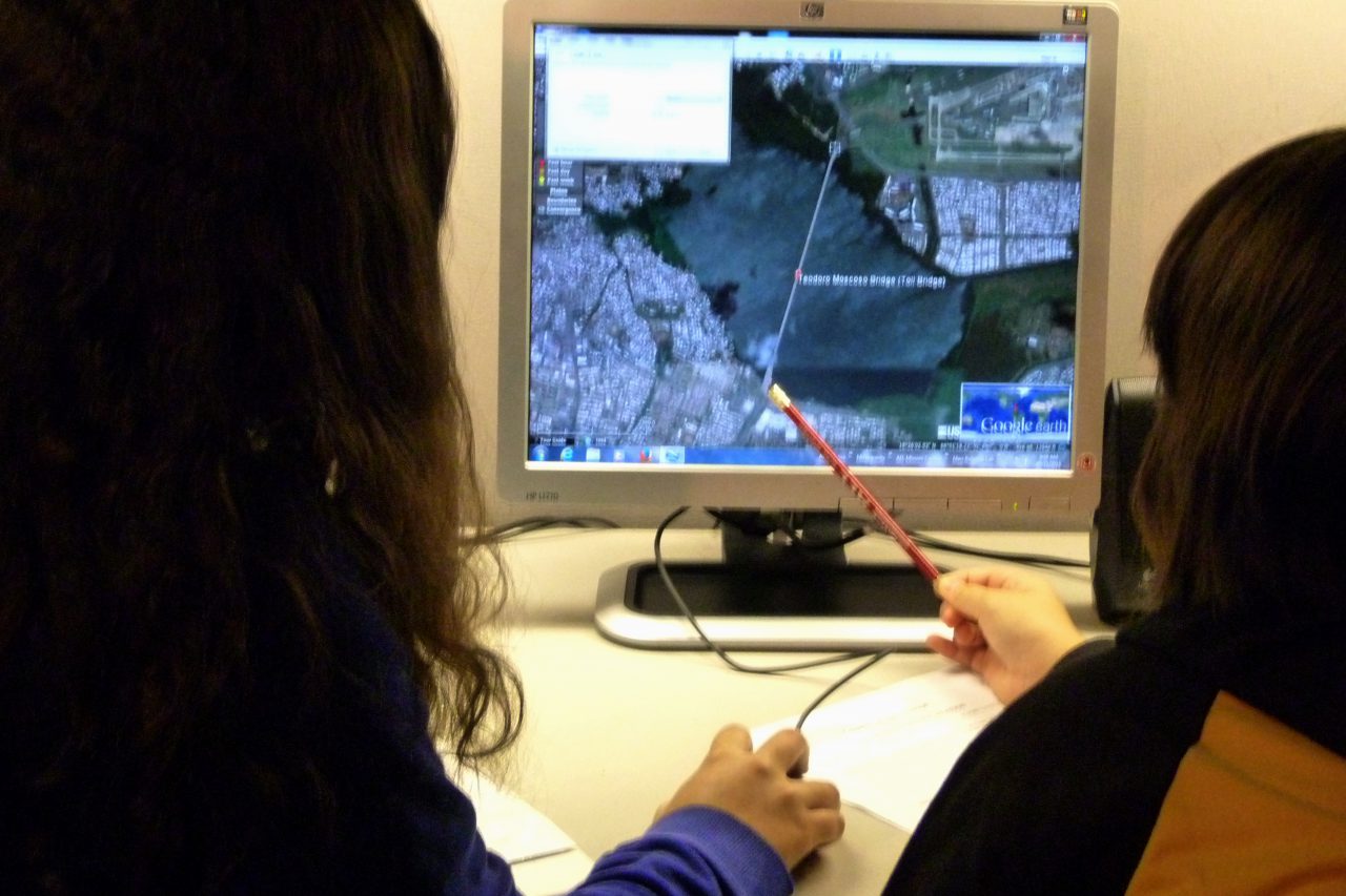
Description
A vast collection of images and geological data allows us to observe and measure with great precision at any point across the globe. Use the information to analyze different terrains. Interpret images obtained from planes and satellites orbiting around Earth.
Skills and subjects
- Remote perception
- Ratios
- Scales
- Use of rulers
- Google tools
Experiences


